

- At the summit of the Mr. Scenery Volcano with a great view of … clouds.

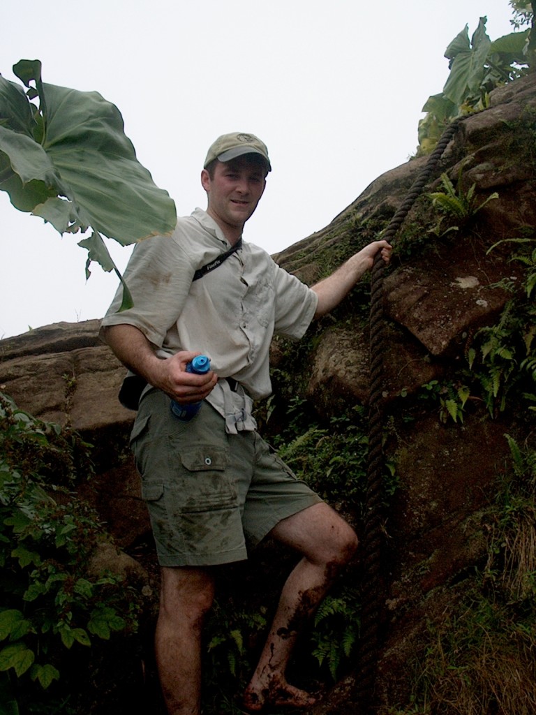
In 2008, Raven and I visited the very small island of Saba in the Dutch Antilles. We were there to learn scuba. But the off days we spent hiking the numerous trails on the island, which spans micro-climates from near desert to cloud rainforest.
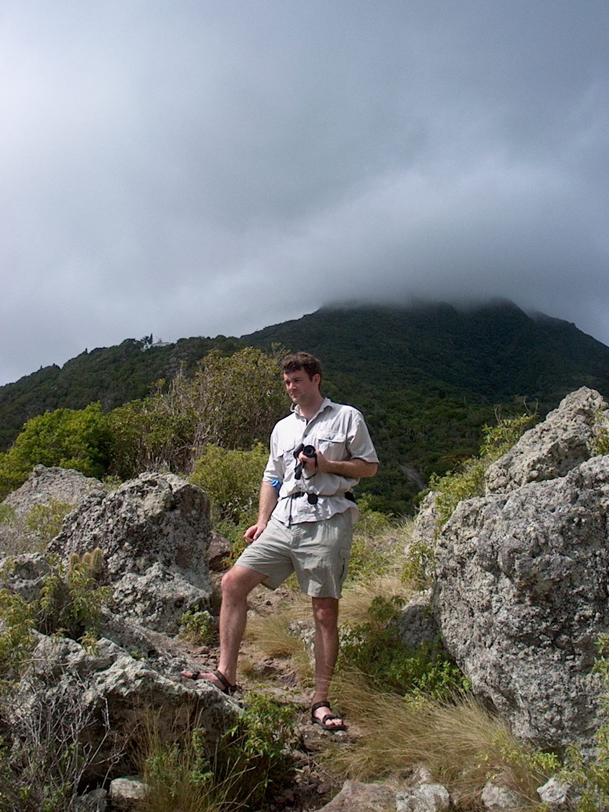
Almost can see the summit!
It was those clouds shrouding the summit of Mt. Scenery, as the volcano forming and dominating the island is named, that inspired a small obsession while we were there. We really wanted to see the summit!
At just under 3,000 feet in elevation, Mt. Scenery isn’t a huge volcano. But sitting as it does in a little patch of the Caribbean, clouds attach to the peak and seem to never let go. Our first hike up to the summit got us lost in clouds and mud. Finally on a day when we decided to hike to Spring Bay, we had a few minutes where the distant summit revealed itself. Very briefly.
It was on the last morning as we sat on the deck of our rented efficiency that I looked up and saw what had remained hidden most of the week. Unfortunately with less than an hour before our flight, racing up to the summit to see what must have been an amazing view wasn’t an option. But at least I got a photo of it!
What illusive photos have you tracked down while traveling?
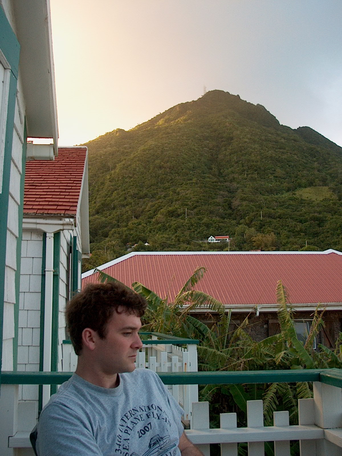
Oh THAT is what the volcano looks like!
